Connect
CoastAdapt's regional groupings are intended to help users navigate resources and reflect broad geographic areas. They are not intended to define or represent Indigenous territories, which are diverse, may overlap, and may extend across provincial, territorial, and regional boundaries.
The coasts and waters covered by CoastAdapt are the traditional territories of First Nations, Inuit, and Métis Peoples, who have cared for these lands and waters since time immemorial and continue to do so today. We're committed to working further with Indigenous partners to help guide how these relationships and territories should be appropriately reflected within the platform.
National
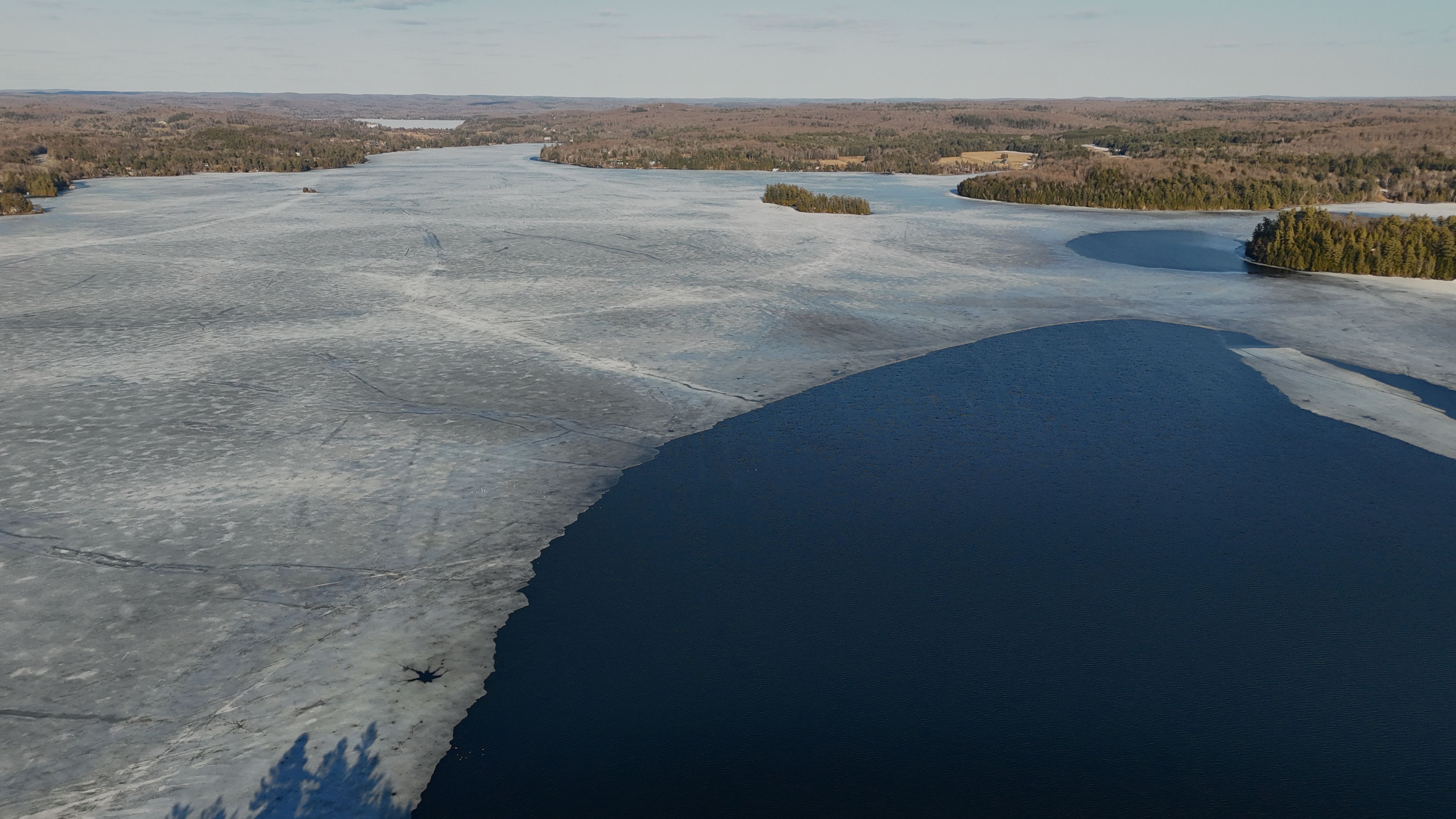
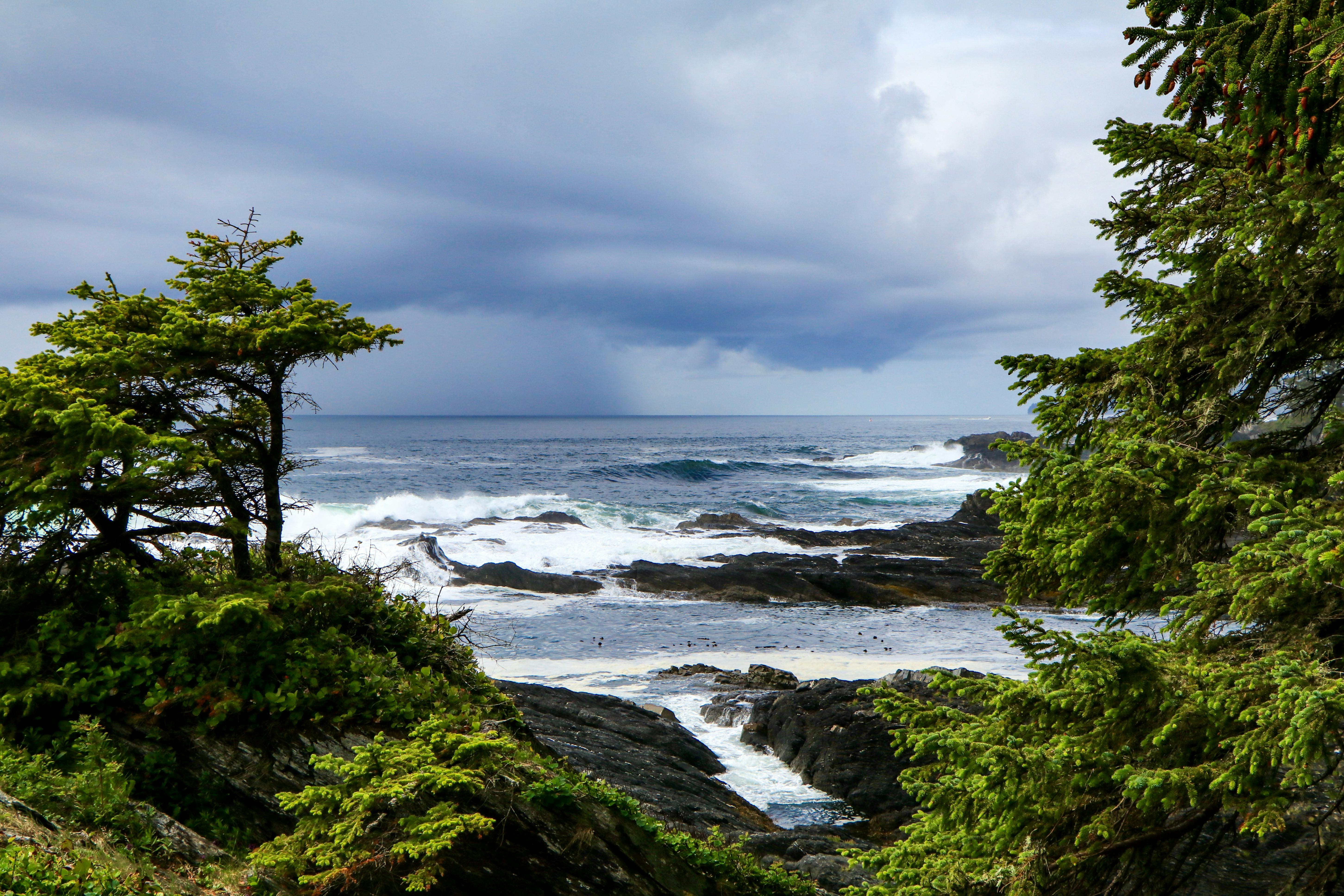
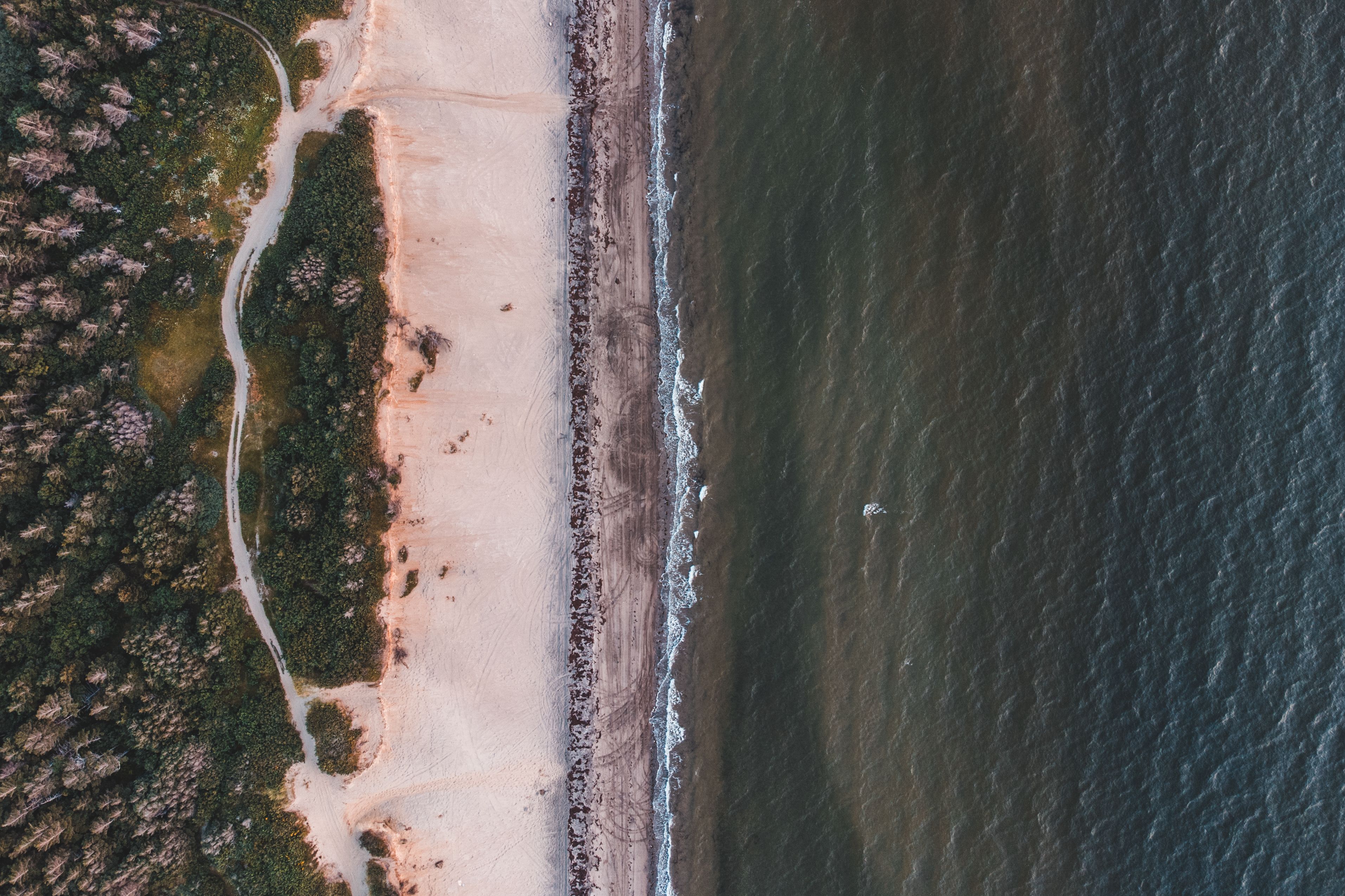
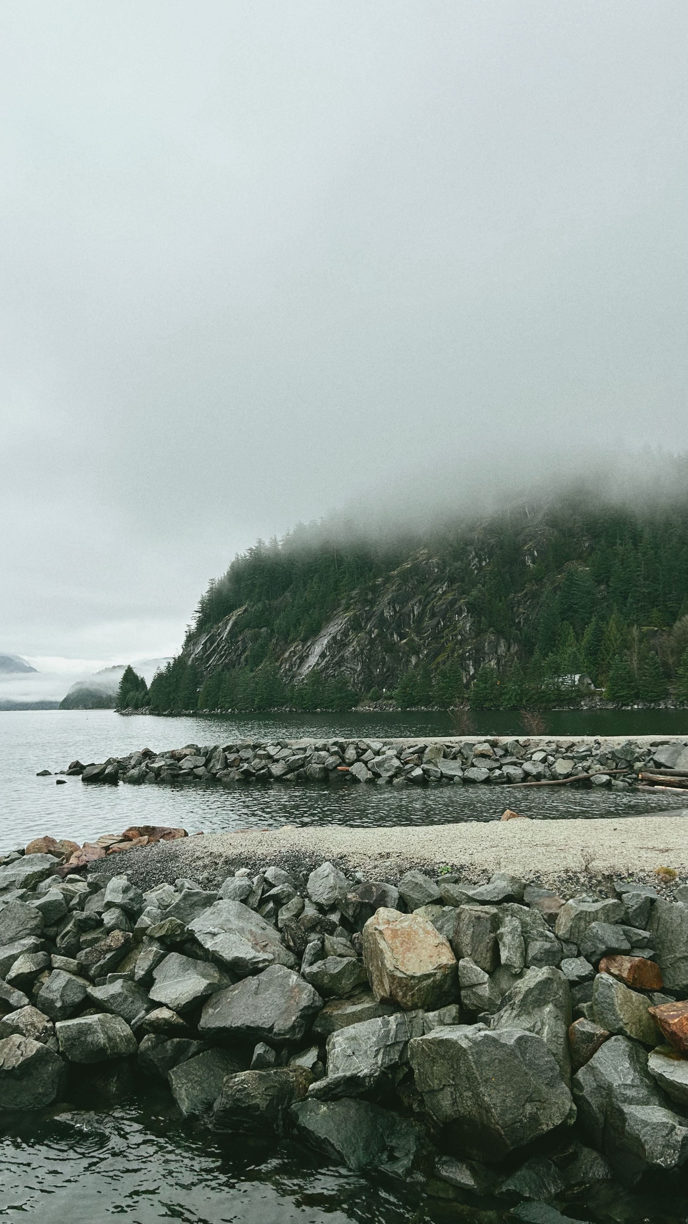
Canada's coastlines span three oceans and the Great Lakes-St.Lawrence system, creating a diverse and interconnected landscape of climate risks. While sea-level rise, storm surge, and erosion affect coastlines across the country, each region faces distinct challenges, from permafrost thaw and sea-ice loss in the Arctic to warming oceans, acidification, and shifting fisheries in the Atlantic and Pacific. The Great Lakes face their own challenges, including highly variable water levels and changing ice cover.
On this page, explore organizations, programs, and tools supporting coastal adaptation across Canada, or select a region to find local priorities and resources.